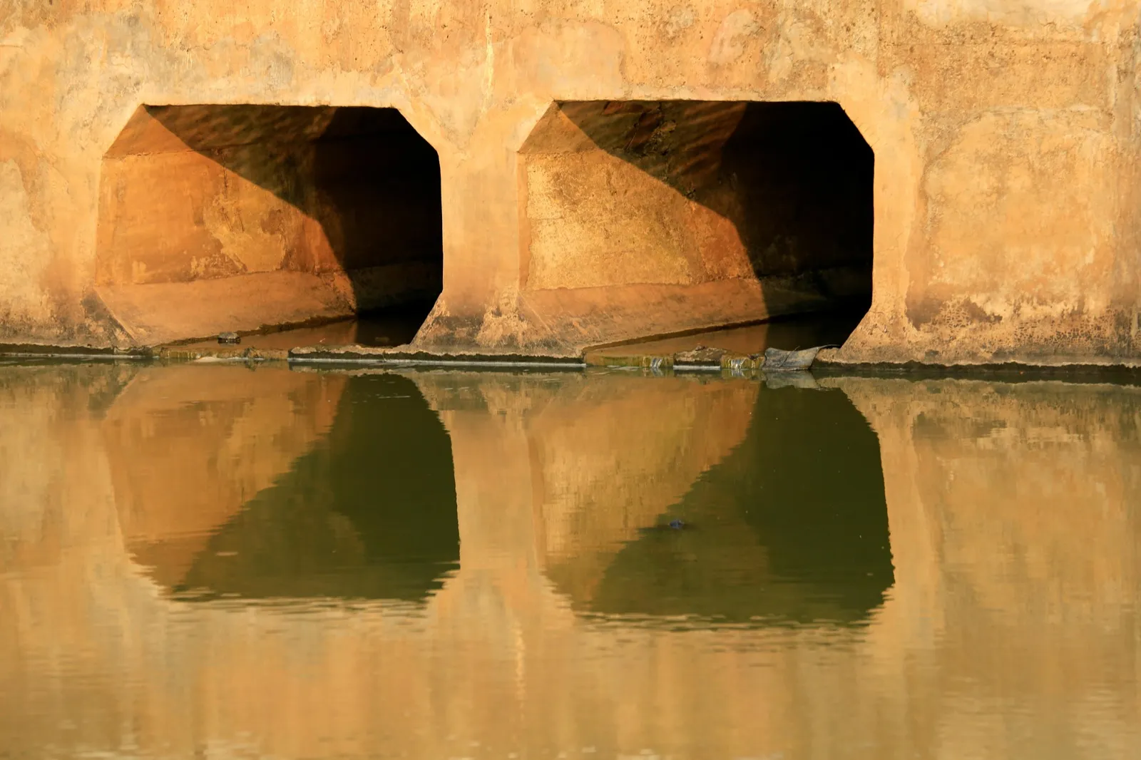
Drone Infrastructure Inspection Services
Carolina Infrastructure Assessment provides FAA Part 107-certified drone infrastructure imaging and aerial inspection for bridges, culverts, retention basins, and stormwater channels across North Carolina, Virginia, Maryland, and Washington, D.C., delivering 5-day photo-documented reports.
Commercial remote pilots certified for low-altitude aerial infrastructure data collection.
High-resolution aerial imaging documenting elevated fascia beams, bearing seats, and steep outfalls.
Complete high-resolution aerial media package and condition defect log delivered in 5 business days.
Precision Aerial Intelligence for Hard-to-Reach Structures
Evaluating elevated bridge superstructures, steep-slope culvert outfalls, and expansive stormwater retention basins on foot can be hazardous, time-consuming, and cost-prohibitive. Traditional inspection methods often require expensive under-bridge inspection trucks, extensive traffic lane closures, or dangerous climbing on unstable stream embankments.
Our FAA Part 107-licensed remote pilots capture high-resolution 4K aerial photography and video to inspect structural components safely from the air. We document bearing shelves, fascia girders, outfall plunge pools, and retention pond weirs with surgical precision.
Aerial imagery is fully integrated into our standard inspection deliverables, including the executive 2-page Report Card and comprehensive engineering photo logs, delivered within 5 business days.
Independent Condition Documentation
We provide objective evaluations without ties to construction contractors, ensuring your board or municipality receives honest condition ratings and realistic maintenance timelines.
Aerial Inspection Targets
Detailed inspection protocols covering critical structural, hydraulic, and safety elements.
Bridge Superstructures & Decks
- High-span bridge deck surfaces, parapet walls, and overhang fascias
- Over-water girder webs, lateral bracing, and truss connection gusset plates
- High-elevation expansion joints, strip seals, and bridge scupper downspouts
- Visual clearances and overhead utility line interfaces
Inaccessible Bearing Seats & Abutments
- Close-up photography of bearing seats over deep water or rocky gorges
- Pier caps, column bents, and bridge pedestals without ladder staging
- Debris accumulation, animal nesting, and concrete spalling on high shelves
- Elastomeric bearing pad extrusion, shear deformation, and anchor bolts
Steep-Slope Culvert Outfalls & Headwalls
- High-resolution imaging of outfall headwalls situated on sheer ravines
- Downstream plunge pool scour, energy dissipator apron displacement, and undermining
- Embankment slope washouts, tree root disturbances, and soil failures
- Culvert inlet trash rack clogging during high-volume flow conditions
Stormwater Retention Basins & Channels
- Overview mapping of retention pond banks, perimeter berms, and slopes
- Concrete control weir boxes, low-flow orifices, and emergency spillways
- Sediment delta accumulation and vegetation encroachment tracking
- Stream channel reach alignment, bank migration, and upstream debris dams
Structures Best Suited for Drone Inspection
Crossings and drainage facilities evaluated across private, commercial, and municipal properties.
High-Elevation & Waterway Bridges
Vehicular and pedestrian bridges crossing deep ravines, rivers, or active wetlands where ground access is obstructed or hazardous.
Steep Embankment Culverts & Outfalls
Discharge pipes and headwalls located at the base of heavily wooded, rocky, or unstable roadside embankments.
Stormwater Retention Ponds & Wet Basins
Large residential and commercial retention facilities requiring wide-angle perimeter tracking and structural weir box evaluations.
Extended Trail & Greenway Crossings
Continuous greenway and park trail bridge networks where aerial overview footage documents both the structure and surrounding stream stability.
Defects Captured by Aerial Imaging
Early-stage deterioration patterns identified before structural capacity is compromised.
Bearing Seat Spalls & Debris Accumulation
Concrete spalls, rust staining, and debris nests on bridge seats that trap moisture and accelerate beam corrosion.
Severe Embankment Scour & Slope Slumping
Large-scale bank slumping and channel washouts that threaten structural foundations but are difficult to perceive from the road deck.
Weir Box Displacement & Orifice Blockage
Structural settlement, concrete cracking, and debris blockages affecting retention pond riser structures and overflow weirs.
Fascia Girder Impact & Lateral Deflection
Subtle beam deflections, vehicle impact scrapes, and railing misalignments documented clearly along full span lengths.
Who Relies on Drone Infrastructure Inspections
Tailored inspection deliverables designed for both lay board members and municipal engineering staff.
Homeowner Associations & Property Boards
Board members managing properties with steep ravines, lake retention ponds, and wooded drainage corridors receive complete visual proof of structure conditions without risky foot climbing.
Golf Courses & Private Clubs
Superintendents obtain high-resolution photographic logs of bridges, water hazards, and outfalls without bringing heavy equipment onto pristine turf.
Municipal Public Works & Stormwater Authorities
City engineering teams map outfalls, inspect difficult weir boxes, and fulfill MS4 stormwater permit documentation requirements efficiently.
Commercial Parks & Corporate Campuses
Facility managers verify roof drainage outfalls, multi-crossing bridge facilities, and perimeter drainage swales across large corporate tracts.
Inspection Deliverables
Every evaluation includes comprehensive documentation delivered digitally within 5 business days of the field assessment.
4K High-Resolution Aerial Defect Log
Geotagged high-resolution photographs documenting every elevated or inaccessible defect from optimal angles, integrated directly into the inspection report.
Executive 2-Page A–F Report Card
Aerial findings consolidated alongside hands-on inspection ratings to give boards an authoritative, easy-to-read summary.
Hydraulic Approach & Channel Video
High-definition video showcasing the upstream and downstream stream approaches, sediment loading, and surrounding bank stability.
Complete Technical Inspection Package
Annotated aerial orthomosaics, component rating summaries, and prioritized maintenance schedules delivered within 5 business days.
Regional Inspection Coverage
We provide scheduled field evaluations across four Mid-Atlantic jurisdictions. Select your region to view local coverage and scope.
North Carolina
Scheduled field dispatch across the Piedmont Triad, Research Triangle, and Charlotte corridors, evaluating vehicular bridges, pedestrian trail crossings, and roadway drainage culverts.
Virginia
Responsive regional routing across Fairfax, Arlington, Alexandria, and Northern Virginia, providing condition assessments for roadway crossings, pedestrian spans, and drainage culverts.
Washington D.C.
Dedicated urban routing throughout Washington, D.C., delivering independent condition assessments for campus pedestrian bridges, commercial access spans, and enclosed drainage networks.
Maryland
Regular coastal and inland dispatch across Salisbury, Ocean City, Cambridge, and Easton, evaluating access bridges, corrugated drainage culverts, and tidal stormwater discharge outfalls.
Frequently Asked Questions
Direct answers about our drone infrastructure inspection protocols. Have a specific structure question? Give us a call.
Do you fly drones during all bridge and culvert inspections?
We deploy drone imaging on all bridge and culvert inspections where elevated components, deep water, steep embankment outfalls, or surrounding waterway conditions warrant aerial documentation. Drone imaging is integrated into our standard inspection deliverables.
Are your drone operations compliant with FAA regulations?
Yes. All flights are conducted by an FAA Part 107-certified remote pilot in command, operating fully insured commercial unmanned aircraft systems (UAS) in strict compliance with federal airspace rules.
Can a drone inspect the inside of a culvert pipe?
Drones evaluate culvert headwalls, wingwalls, approach channels, embankment slopes, and discharge plunge pools. For the interior barrel of pipes and box culverts, our inspectors conduct hands-on physical crawl evaluations to test joint seals and invert metal thickness directly.
Do drone inspections require closing roads or golf course holes?
No. Drone flights operate quietly and efficiently from outside active traffic lanes and playing corridors, eliminating the need for costly lane closures or player disruptions.
What weather conditions prevent drone inspection flights?
For flight safety and high image clarity, drone operations require daylight, visibility greater than 3 miles, and sustained winds below 20 mph without heavy precipitation. In the event of adverse weather, flights are rescheduled promptly.
Schedule a Drone Infrastructure Inspection
- Scheduled in 1–2 weeks.Most inspections are on the calendar within two weeks of your first call.
- Reported in 5 days.Your full report and Report Card arrive digitally within 5 business days.
- 20% off your first inspection.Ask about our Founder's Program for first-time clients.
Speak directly with an NBIS-certified program manager about your crossings or drainage structures. 15-minute scoping calls and standard 5-day turnarounds.
- Phone
- (336) 653-1866
- Location
- Greensboro, NC